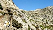
I packed up the tent early after a noisy night of competing dogs and was on the road by 0615. After 3 or 4 kilometres on a mix of dirt roads and tarmac roads, I managed to find the concrete road which is the official E4 (marked with paint on a concrete watertank) up from Pirgos and a couple of hours later I was in Venerato having a frappe in the café by the turn to Kerasia.
My path rejoins the official E4
-two rare markers on the way to Venerato
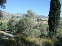
Venerato with the Psiloritis
foothills beyond
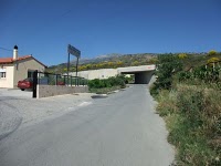
the route going under the
dual carriageway to Heraklion
Confusingly, the Anavasi map marks a dirt road from Ano Asites in the general direction of the Prinos hut as the E4, but this is a mistake as Triantafyllos confirmed when I rang him. The primary route up into the massif is via Kato Asites - which was disappointing as it seemed that much further to walk.
So I followed the road from Venerato through Kerasia to Ano Asites and then took the E4 dirt road to the west of Ano Asites as it wound its way gently round to Kato Asites, arriving well on the uphill side of the village. There was then a sign uphill to a taverna (whose name I forget) which provided me with an early lunch (late breakfast) and fabulous views across the valley and as far as Heraklion on the north coast. Usefully, there is an unmarked path at the back of the taverna which leads straight across to the Ghorgholaini Monastery at the start of the road up to Prinos – no unnecessary height loss – perfect.
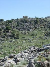
The EOS Prinos hut from below
looking back down from above
The next four hours were some of the toughest I have ever experienced in Crete. The dirt road to the watertank (good for topping up bottles) at the top of the road is just a foot slog at the end of which there is a chapel and, beside it, a separate room with a bed in it - ideal for half an hour’s siesta (or an overnight camp). The path from there up to the Prinos hut is pretty broken and rocky – and at the hut itself the vultures were settling down for a little hiking accident to happen. I hoped I would disappoint.
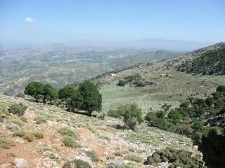
The climb to the pass below Ghiristi from Prinos is a further 500 meters – a total height gain of 1,100 meters from Ano Asites – on very steep and rubbly paths. One consolation, if you can call it that, is that this stretch is well way-marked, so in fine weather there is no danger of getting lost. As ever, these high mountain routes pass through the most beautiful landscapes and the views just got better and better.
However, I was getting further and further behind on my schedule – my total time from the lunchtime taverna at Ano Asites to Aghios Ioannis chapel at Rouvas was 8 hours – enough for one day on its own, without the time and distance from the campsite east of Kiparisos, but I should have anticipated that better. The 300 meter descent from Ghiristi to the dirt road below is just as steep and rubbly, so this part was almost as hard work as the ascent itself. From there it is a foot slog along dirt roads to Rouvas, but subsequently Triantafyllos has explored a route from the workstations on the dirt road below Ghiristi down through the Rouvas woods towards Aghios Ioannis. Although there is no formal path, this would cut out a huge corner and would probably be kinder underfoot as well. A combination of paracetamol and ibuprofen masked the pain of an incipient shinsplint on the last 6 or 7 kilometers of dirt road and I got into Rouvas at 8 pm, ten minutes ahead of Triantafyllos (in his Rav !), bringing welcome roast lamb from Anoghia.
Alas, a long day too far. Because of the deep blister in the pad of my left foot I had been walking awkwardly and by the end of this 14 hour day I had earned myself a painful shin splint which was to be something of a show-stopper.
